RiverMaps - Grand Canyon 8th Edition
$30.95 USD
Product Details
While off the grid you'll want a good reference to guide you on the Colorado River. RiverMaps 8th Edition of the Colorado River in the Grand Canyon Guide has the most up-to-date data for your trip.
Copyright: 2021
Size: 9" x 14"
Pages: 119
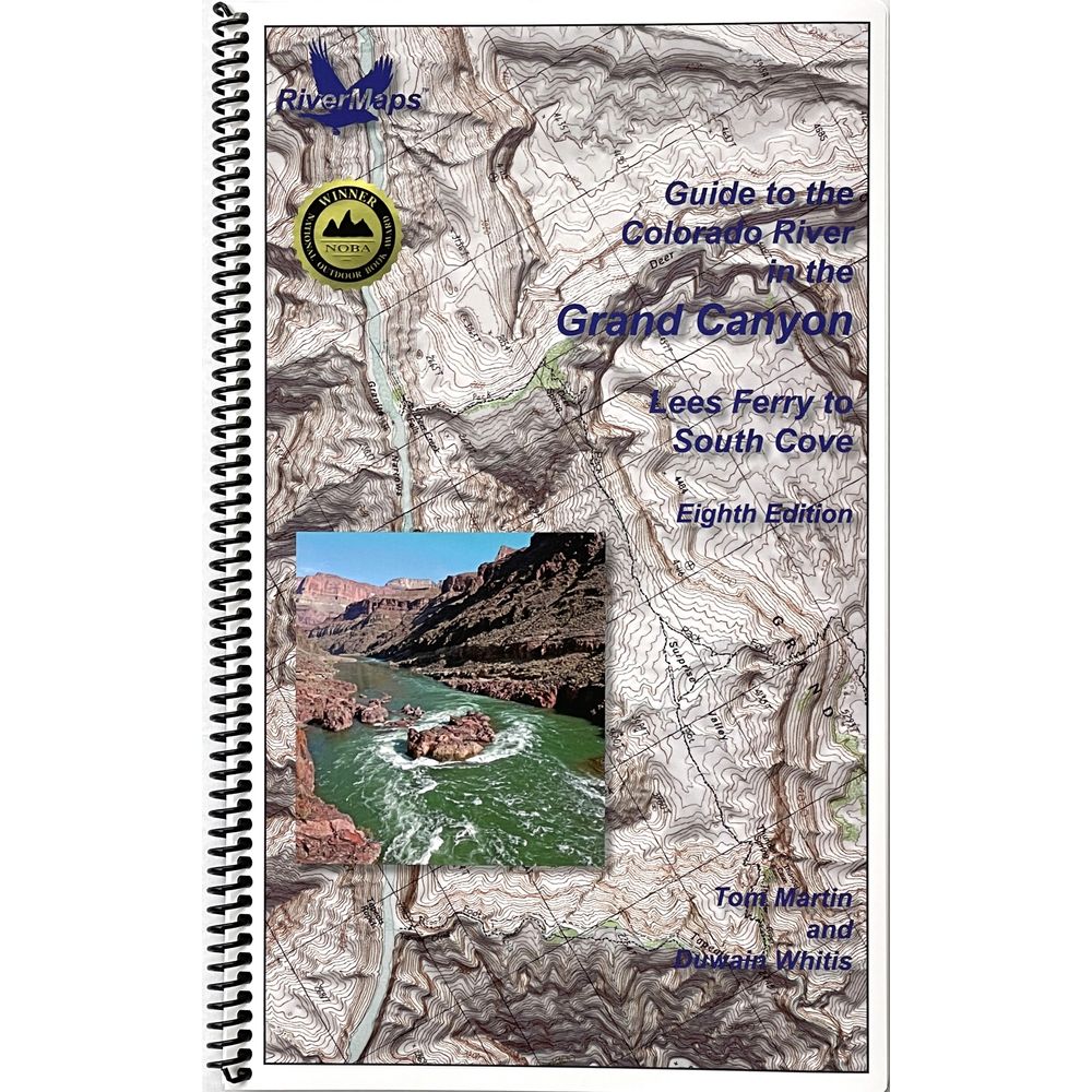
- This guide covers 297 miles of river in 119 pages. Includes 51 maps and all color photos with up-to-date data on camps and river features.
- Spiral-bound format with full-color topographical maps on the right side and complete text descriptions on the facing page.
- With book in hand, maps read from bottom to top to match the downstream flow of the river.
- High-quality waterproof paper prevents ink from smearing and is tear resistant to keep your guide intact throughout your trip.
- Relief shading of the topo map offers a much clearer perspective of the terrain.
- Excellent mile-by-mile information on rapids, campgrounds, geological features, historical sites and reference points.
- The topo maps are the same scale as the original USGS maps. The contour lines and accurate river shape enhances your ability to keep track of where you are.
Copyright: 2021
Size: 9" x 14"
Pages: 119
Follow
© 2024 SOTAR.
Tel: 1-800-467-6827